Overview
Standard Reference Pluvial Flood Hazard Maps Baden-Wuerttemberg (GER)
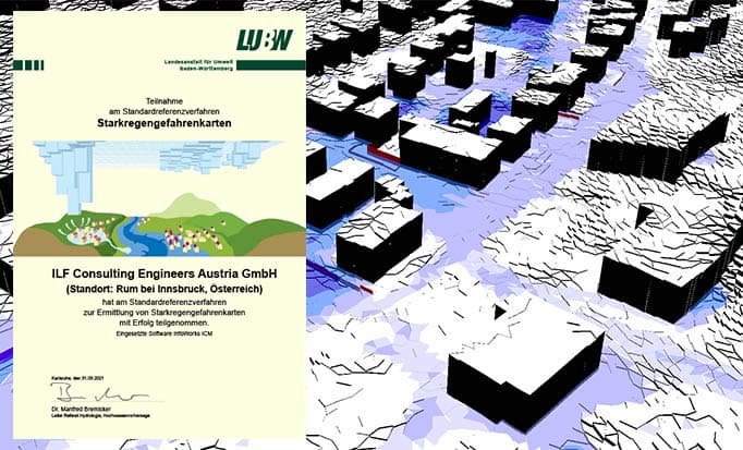
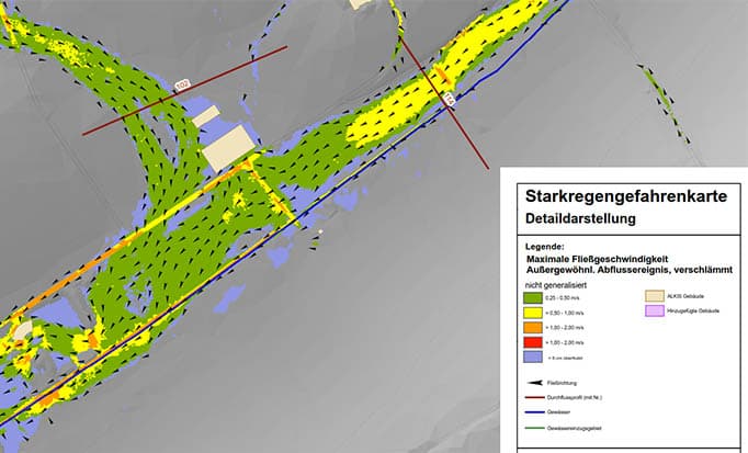
Through the creation of an exemplary pluvial flood hazard map for a test area, it was demonstrated and confirmed by LUBW that ILF not only has a suitable modeling software (InfoWorks ICM), but also the necessary know-how.
Water & EnvironmentUrban Water Systems
About the Project
- Client:
- Landesanstalt für Umwelt Baden-Württemberg (LUBW)
- Location:
- Germany
- Time frame:
- 2019–2020
Technical Data
Model area: 3.35 km²
Settlement area: 0.67 km²
Hydrodynamic 1D/2D modeling (using InfoWorks ICM) with 898,977 computational elements
ILF-Services
- Consulting Services
References
Proven Impact Through Real-World Projects
Explore selected projects that demonstrate our expertise in delivering complex energy and infrastructure solutions worldwide.